

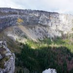
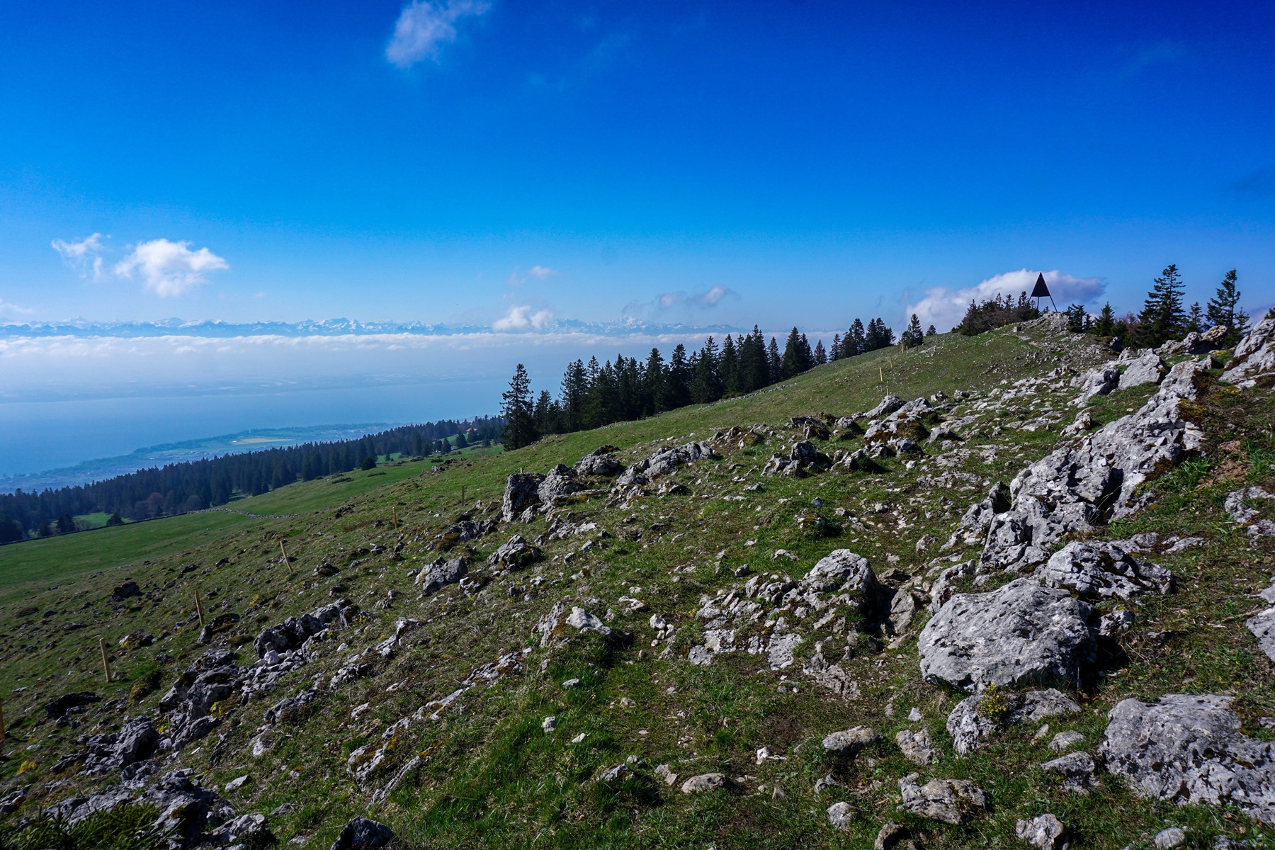
A little over two weeks ago, I hiked between La Sagne and Chambrelien via Mont Racine and Grande Sagneule. The summit of Mont Racine offers a magnificent view of the Swiss plateau and the Alps. However, following the Crêtes du Jura trail, it does not take long to descend to the Grande Sagneule. The place is very nice, but as one goes, the view becomes less and less clear, especially if one decides to leave the Crêtes du Jura route to reach Rochefort. That’s why I thought it would be a good idea to follow the ridge to reach the Mauvaise Combe a little lower. I had seen on the historical maps that there was a path crossing under the Montagne Jacot to reach the Mauvaise Combe. The last year that this one was represented was 2015. I imagined that it would still be possible to find it and I that had to go and have a closer look. So, I left from La Sagne to do almost the same hike as in April.
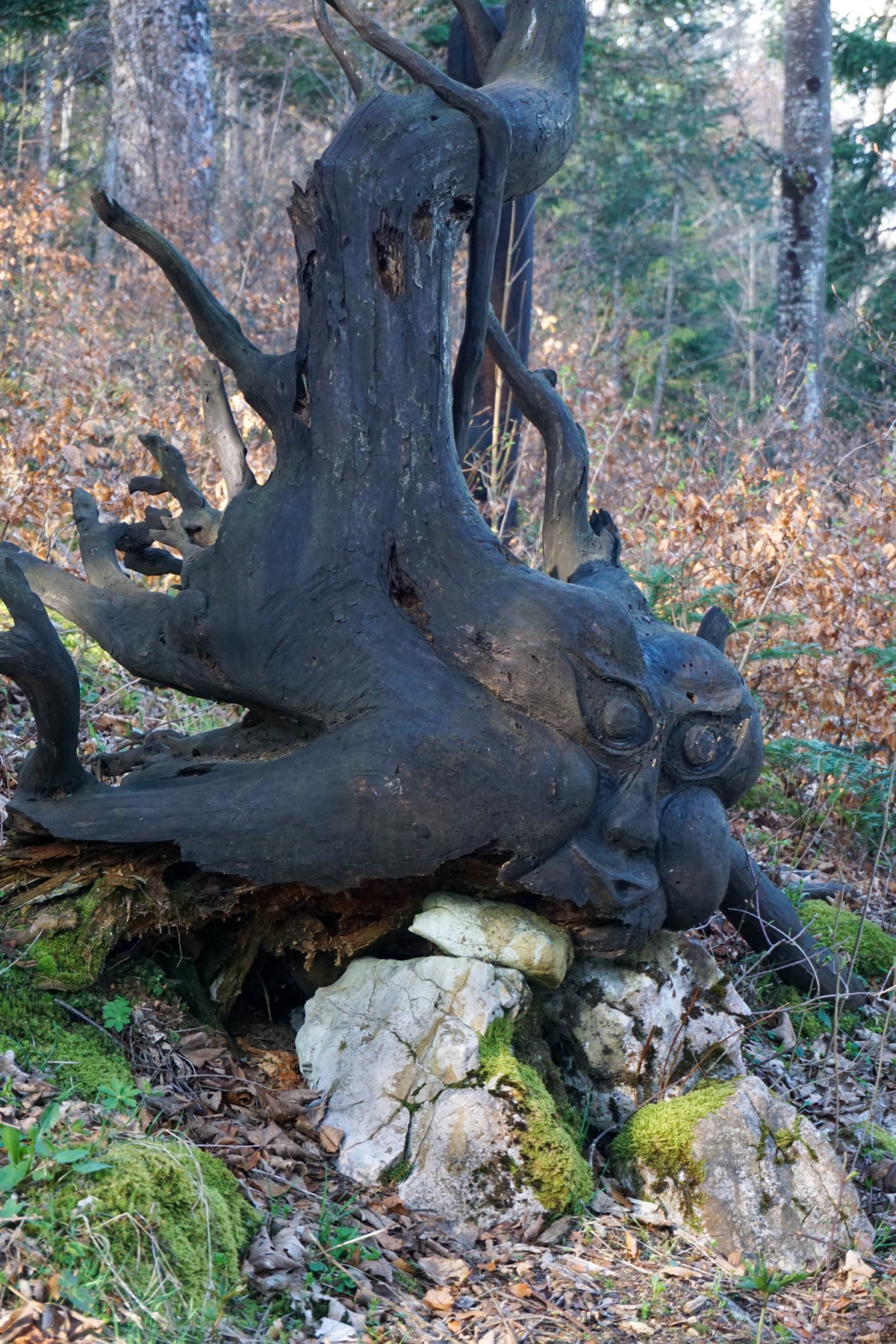
This time, however, I had opted to follow the Sentier des Statues, which I had heard about a while ago. It is a short path that makes switchbacks to reach the Grande Racine. Sculptures mounted on trunks are placed all along the trail and it is advisable to leave a small contribution for the maintenance of the trail and the sculptures.
From Grande Racine, I followed the same path as last time to climb Mont Racine. This one climbs along the steep little road to Les Grandes Pradières to follow the route of the Crêtes du Jura.
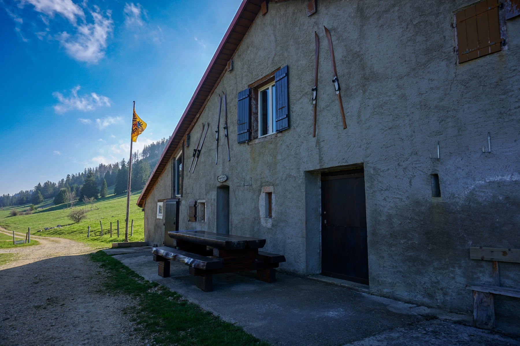
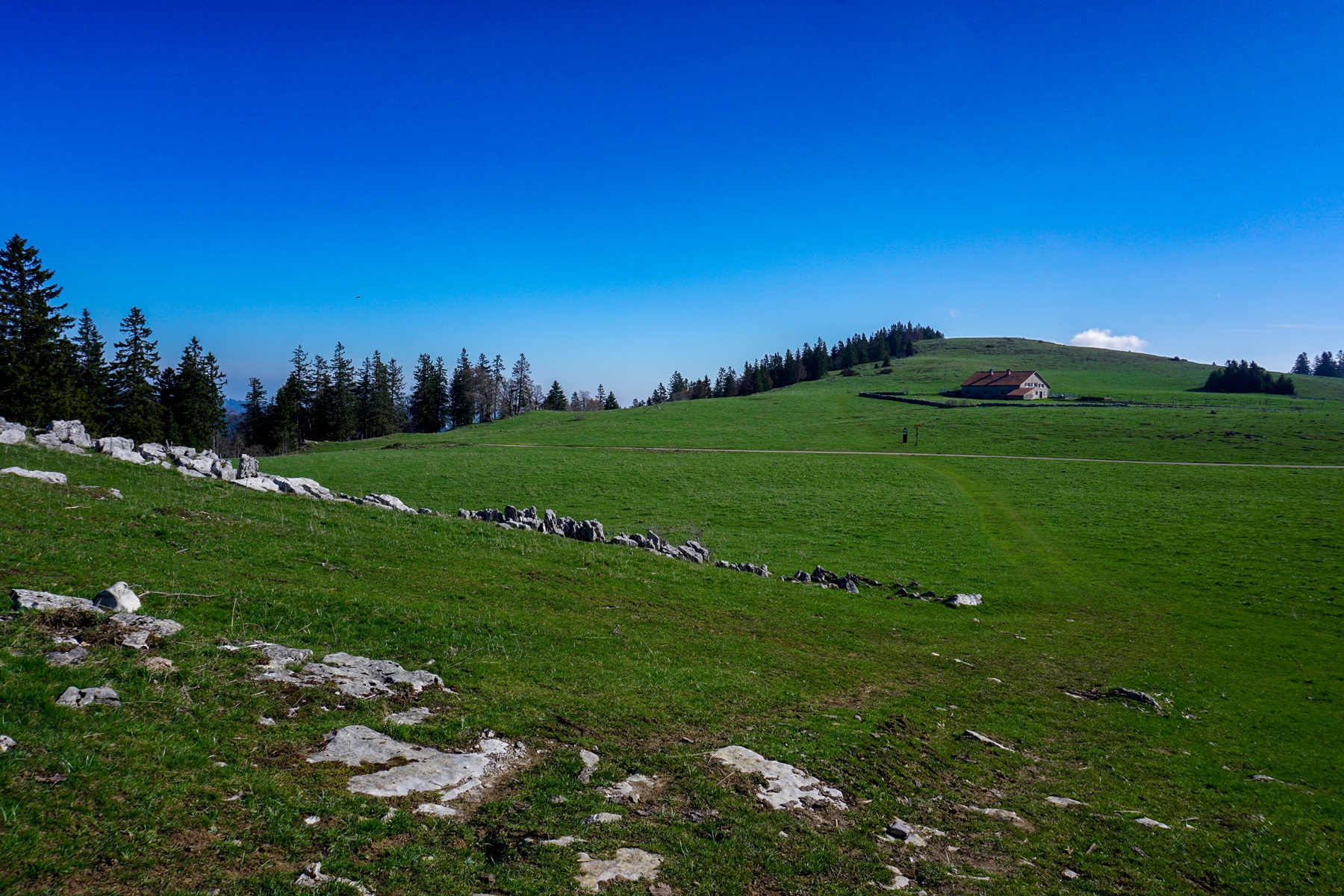
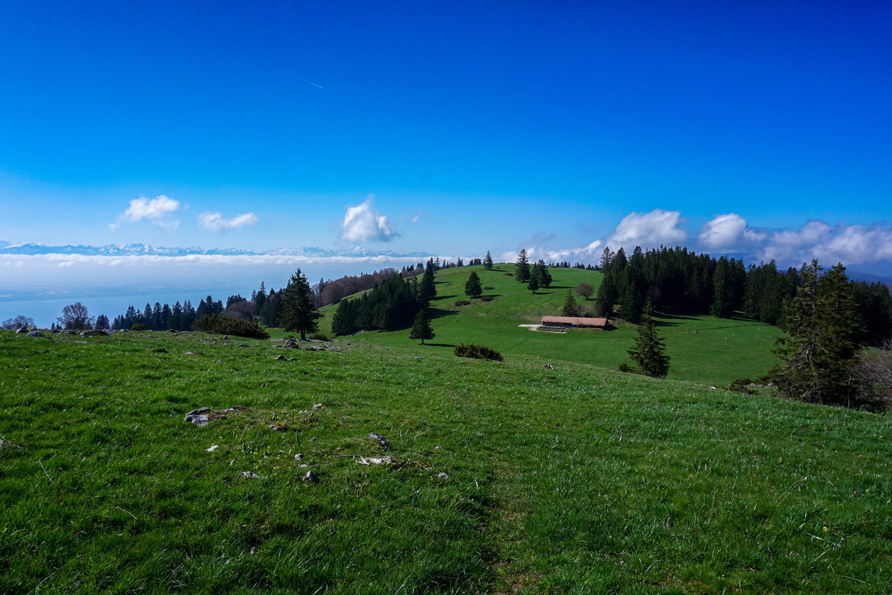
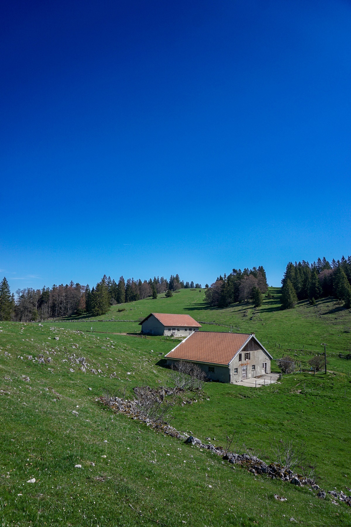
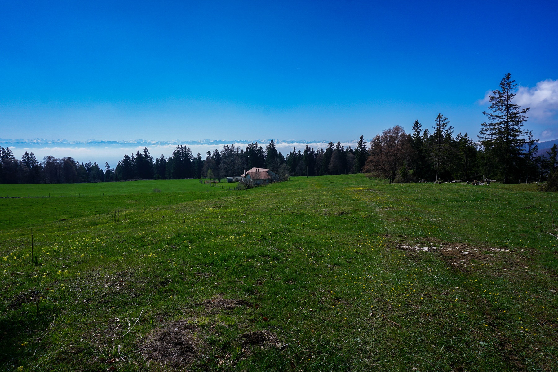
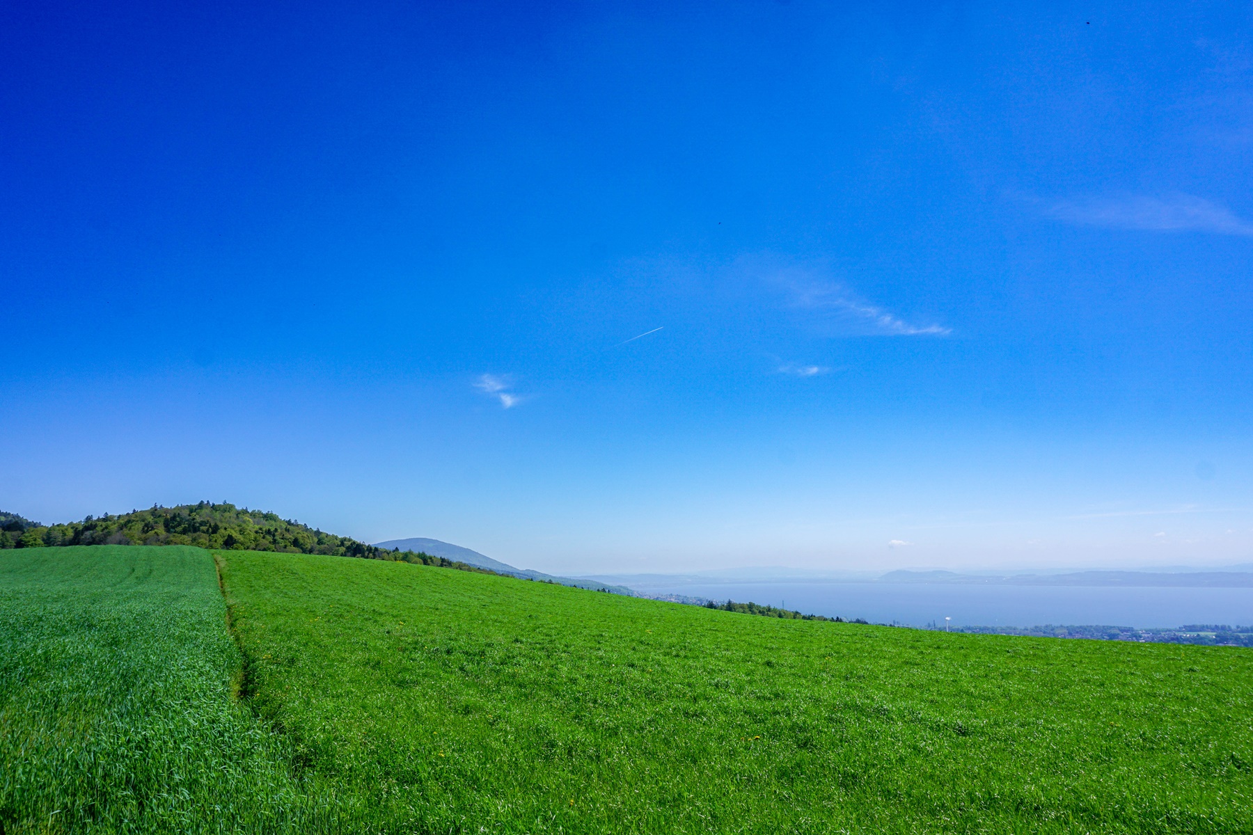
After climbing and passing Mont Racine, route 5 descends towards Grande Sagneule to climb from Les Sagneules on the ridge leading to Col de la Tourne. There, I had followed the ridge of Mont Racine to reach the Coucheroux-Dessous chalet. Along you first section, a path exists on the ground and this one is drawn on the map. Further on, after a stable, the map no longer indicates a path, but there are traces through the meadow leading to Cucheroux-Dessus. From these meadows, the view of the Col de la Tourne and the Val de Travers is magnificent. Between the two Cucheroux, one evolves in a less steep and semi-open terrain, not offering an as wide view as previously.
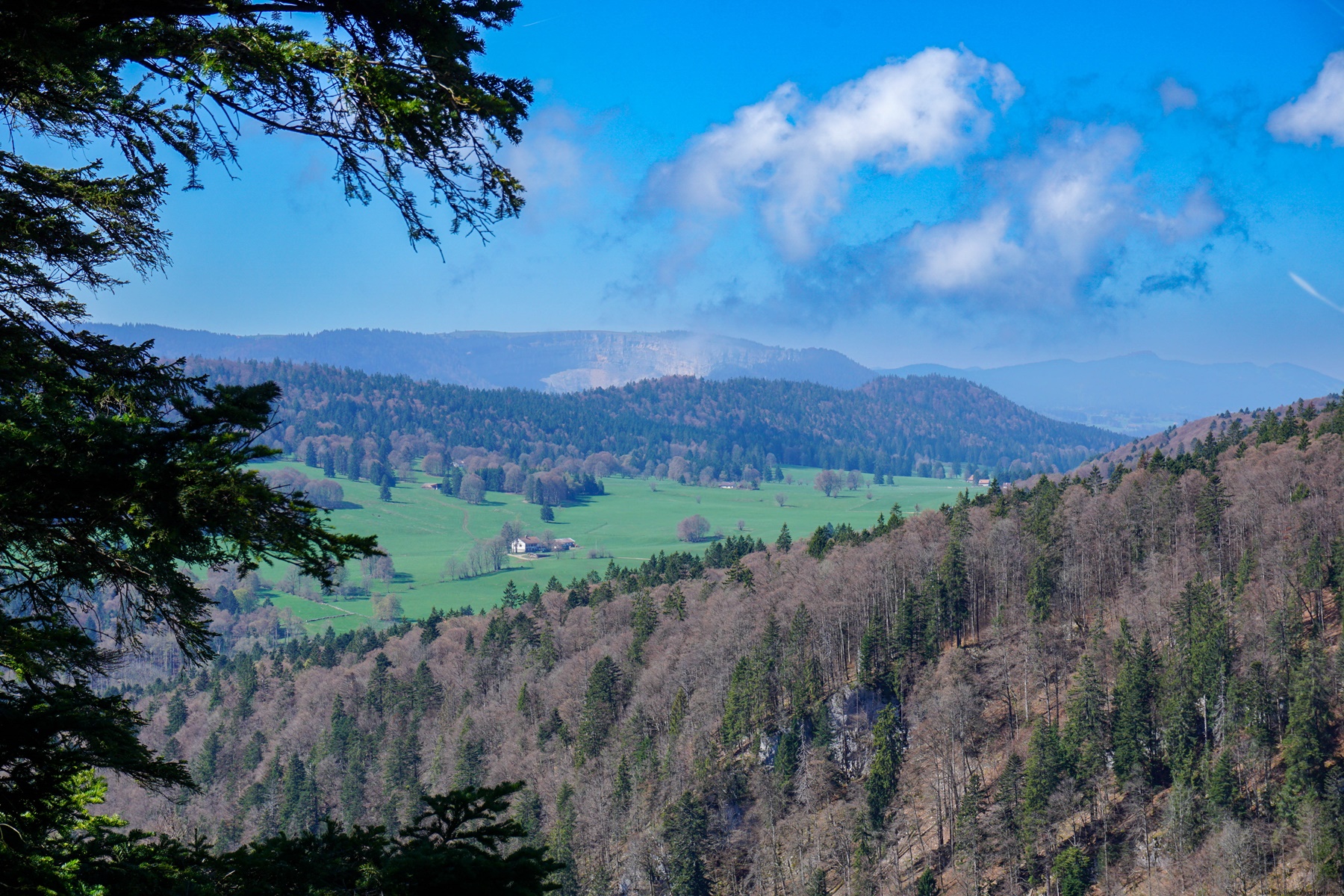
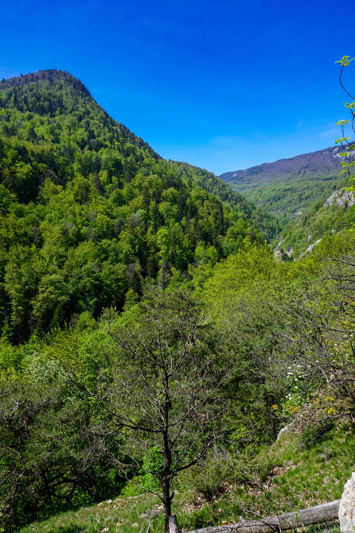
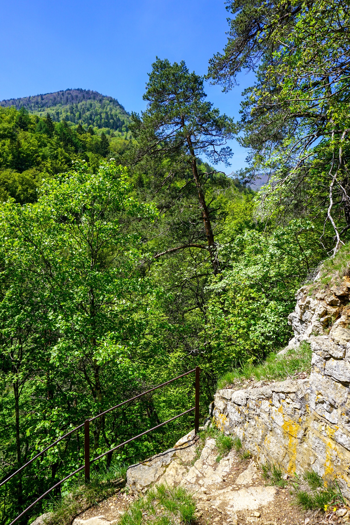
A path along the edge of the Mauvaise Combe leads to a pylon equipped with antennas (indicated on the map). It is under the pylon that the rest of the trail still listed in 2015 begins. Here and there, there are still some traces, but they can easily be confused with the track of wild animals. The whole crossing is very noisy, because one is evolving above the Col de la Tourne road. One also takes the risk of triggering stones dropping on the road (is this why this route has been abandoned?). The last meters leading to the marked path form a steep embankment in which the possibilities of holding to something are very limited. In conclusion, I would advise against trying to follow this old path: one can hardly find it anymore and it is steep and noisy.
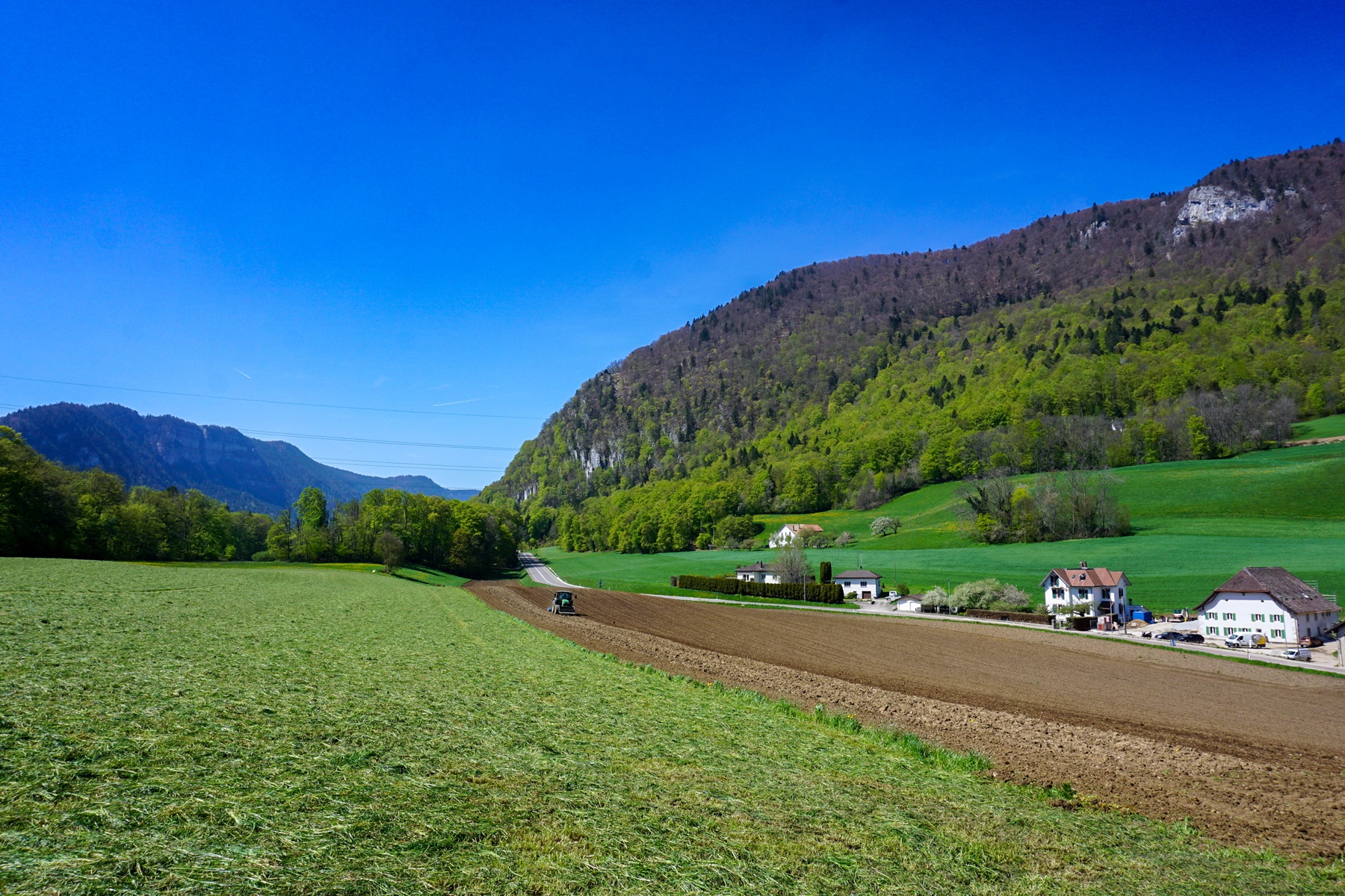
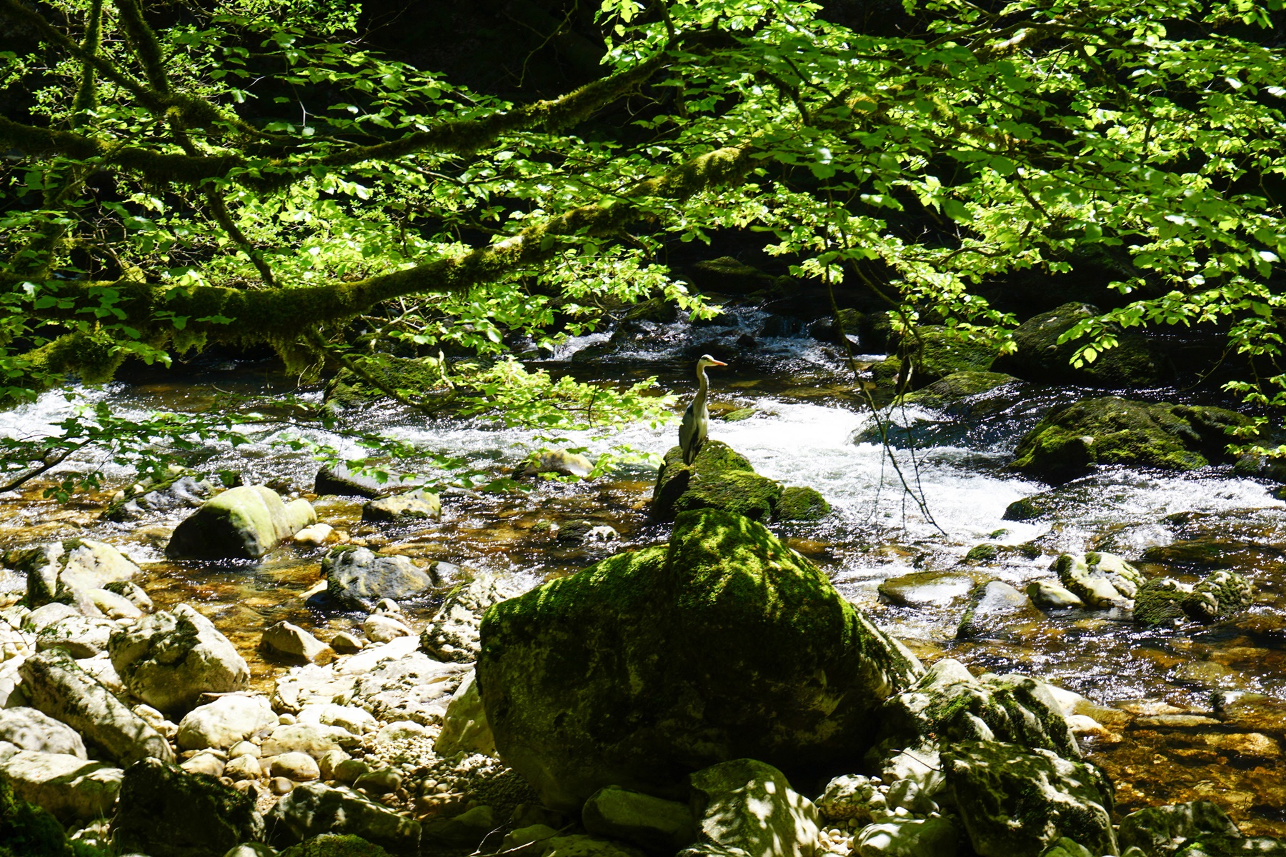
For the rest, I had decided, unlike in April, to go to Boudry and not to stop at Chambrelien this time. This allowed me to go to the viewpoint above the Gorges de l’Areuse and descend into them at the height of the Pont de Vert. I was surprised to find that even though it was a weekday, the gorges were quite busy.
After joining the Chanet electrical plant, it does not take long to cross the Areuse to reach Boudry. Here, I had gone to the Littorail terminus, instead of climbing up to the CFF station.
Itinerary: La Sagne – Statue Trail – Grandes Pradières – Mont Racine – Cucheroux-Dessus – Cucheroux-Dessous – Mauvaise Combe – Rochefort – Chambrelien – Erratic Block – Pont de Vert – Boudry Littorail
Distance: 19Km
Altitude gain: 620m
Duration: 6h30
 Previous Post
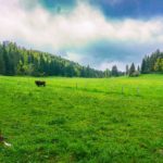 Next Post
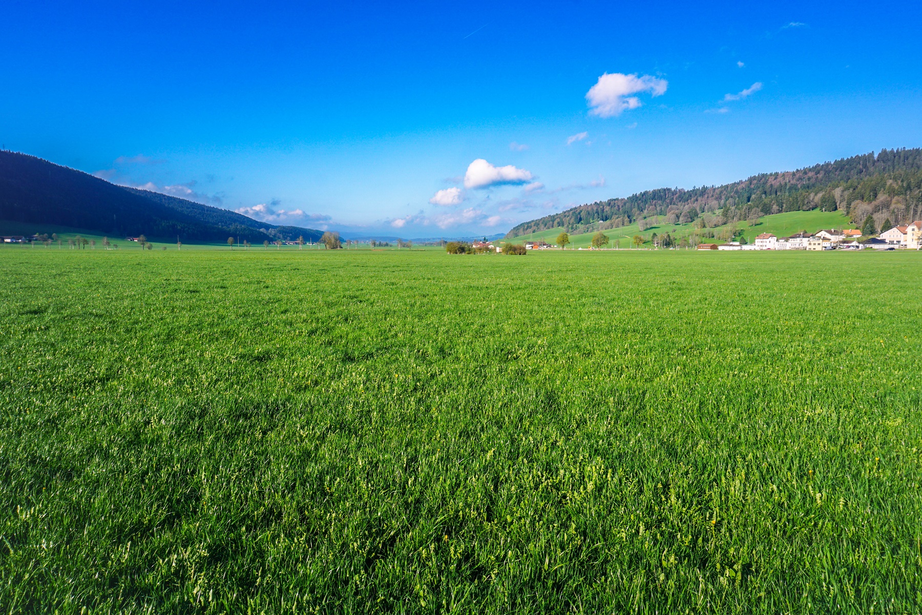