One of Suisse Mobile national routes is the Alpine Panorama Trail. It takes place globally in the Prealps, while passing by nice viewpoints. In principle, the suggested route is done from east to west. Here, we decided to do it in the opposite direction, between Vevey and Les Paccots.
Departing from Vevey, the route is suggesting starting from Corseaux. However, we had started at Vevey train station. The start is urban but pleasant, because one follows the Veveyse for a bit in a very shaded environment. This was perfect since it was extremely hot day.
A little higher, one passes under the motorway viaduct near the Veyre interchange. The construction is impressive from below. Higher up, one passes under the Fenil bridge and then climbs onto the road leading to St-Légier. The first section of the road is not very pleasant, because it is terribly busy. It does not take long, however, to leave the main road to follow paths in the residential area, and further, the route cleverly avoids the main road.
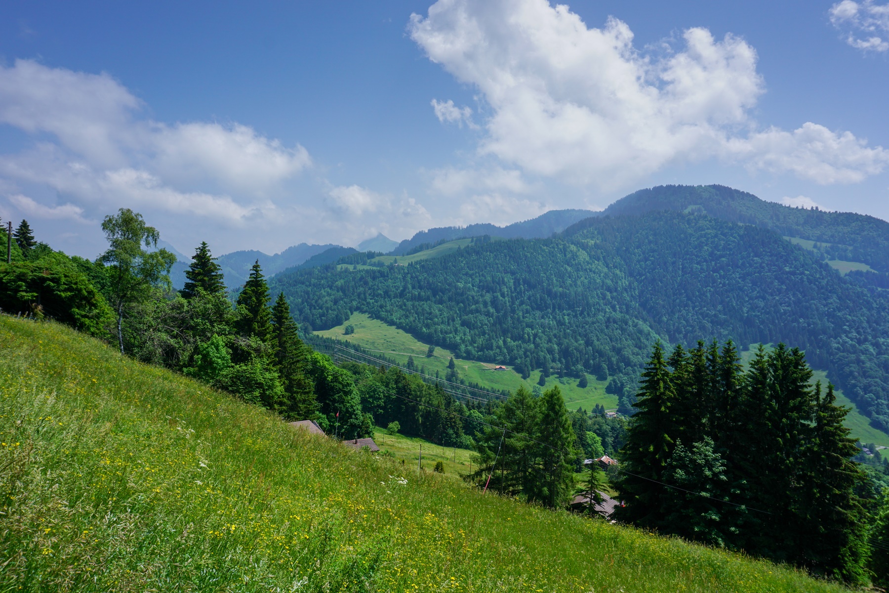
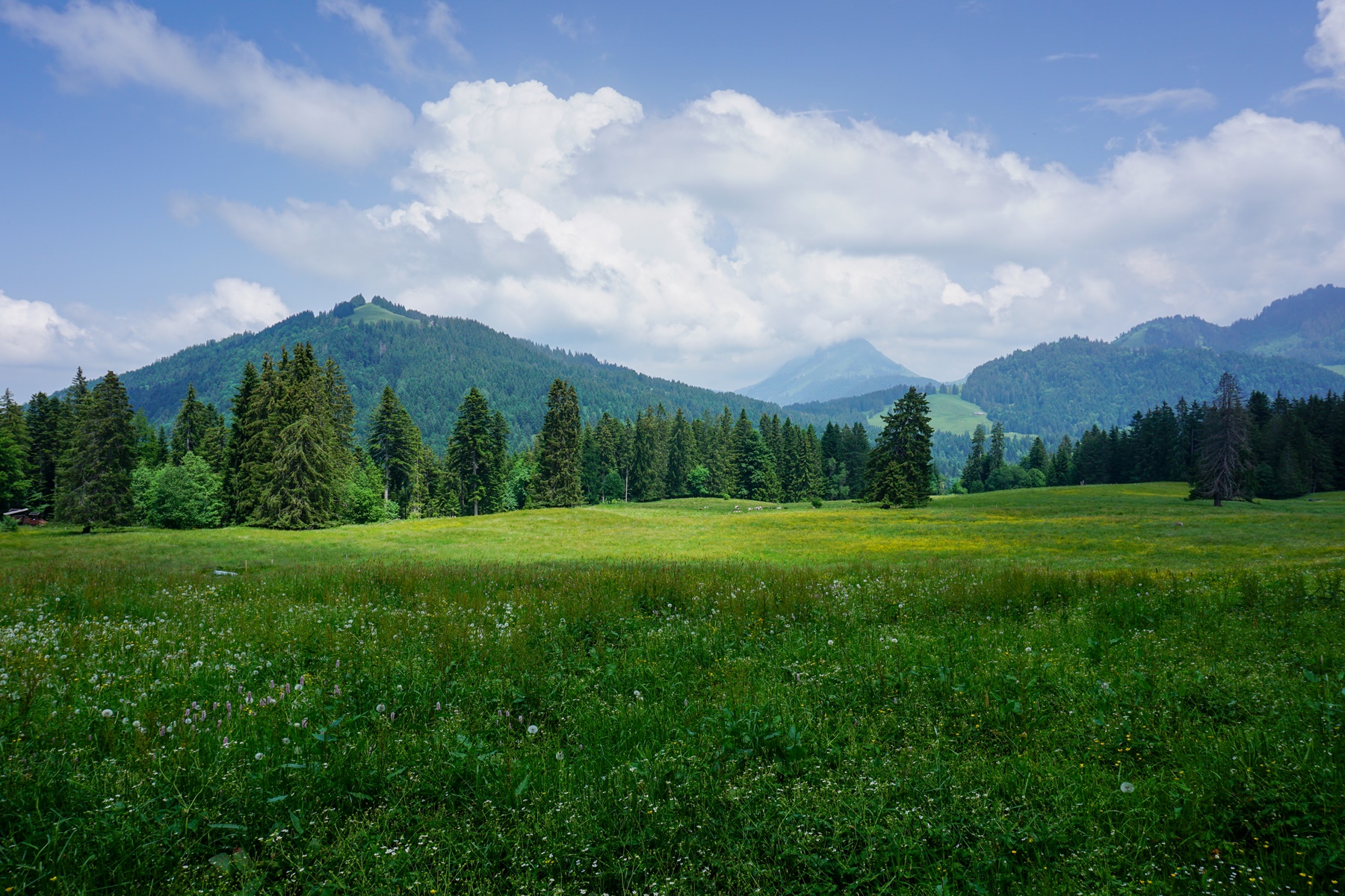
One crosses Chiésaz and Blonay to reach the edge of the forest crossed by the Route des Pléiades. Up to the edge, the slope is relatively gentle, and it is when entering the forest that it becomes steep. one then reaches the Restaurant du Signal at the height of which one crosses the road to enter the forest again. Higher up one walks through an alternation of forest pastures until one reaches the Pleiades railway line. There, one finds oneself in full sun for a while, but higher up, the path climbs under the cover of hedges giving a little shade.
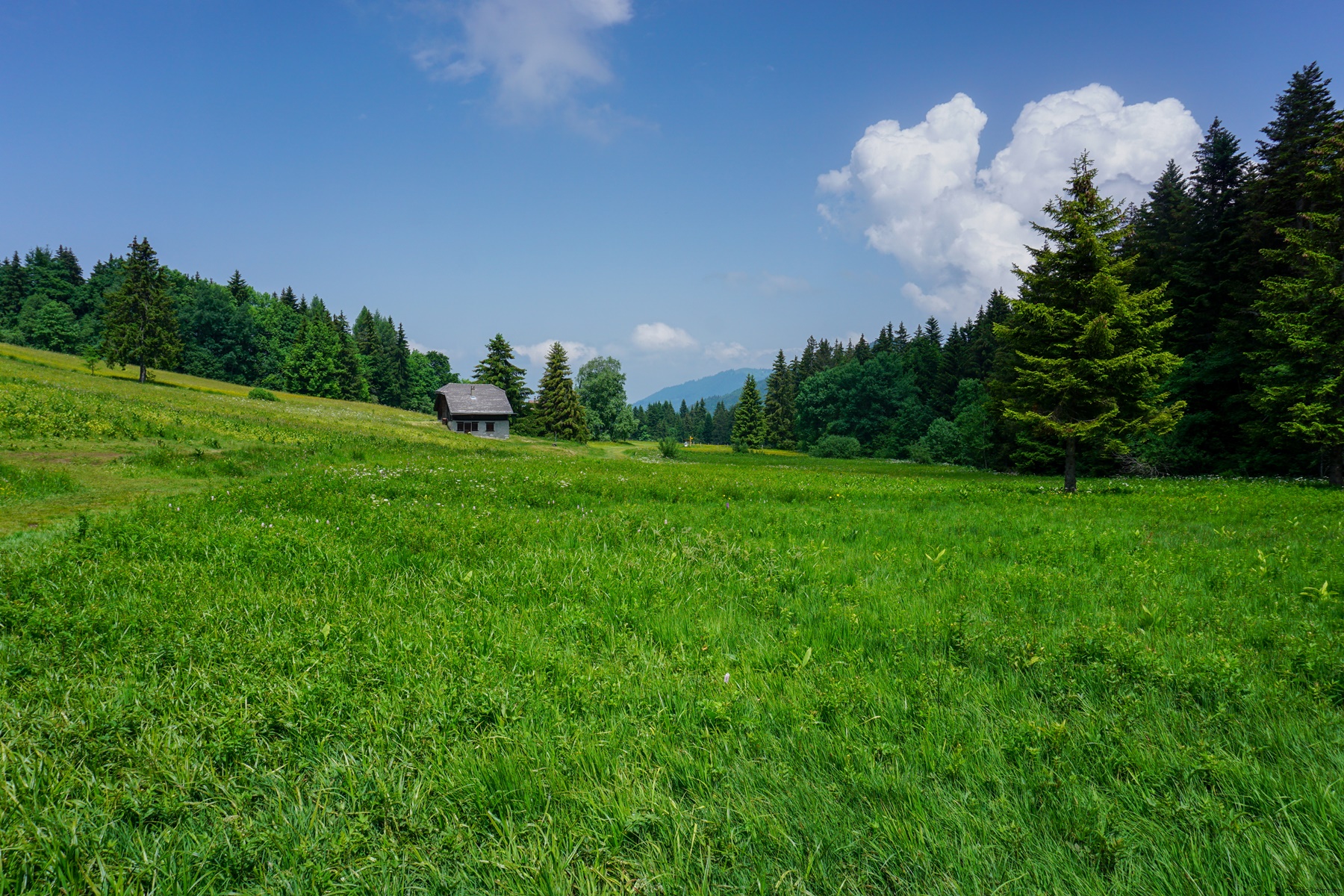
After an ultimate forest, one reaches Aplayau and one realizes that one has done the hardest as far as the climb is concerned. Indeed, only a few meters of altitude gain are necessary to reach Lally. This place is the highest point of the day since one pass under Les Pléiades to reach the Tenasses swamp area where the path is built on bridges.
Once one has passed the marshes, one descends into the undergrowth to join the Chemin des Mossettes and, further on, the homonymous chalet-restaurant. After crossing a few ravines, the path descends towards the Veveyse de Fégire, which one crosses on the homonymous footbridge. The climb is quite steep in places at the beginning because one has to overcome steep embankments. Higher up, the trail runs along the edge of the forest to reach Les Joncs.
All that is left then is to descend to reach Les Paccots. It should be noted that even though the village is quite large, the possibilities of spending the night there are relatively limited.
Itinerary: Vevey – Pont de Fenil – St-Légier-La Chiésaz – Blonay – Lally – Les Mossettes – Passerelle de Fégire – Les Joncs – Les Paccots
Distance: 18.7Km
Altitude gain: 1085m
Duration: 6h


 Previous Post
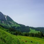 Next Post
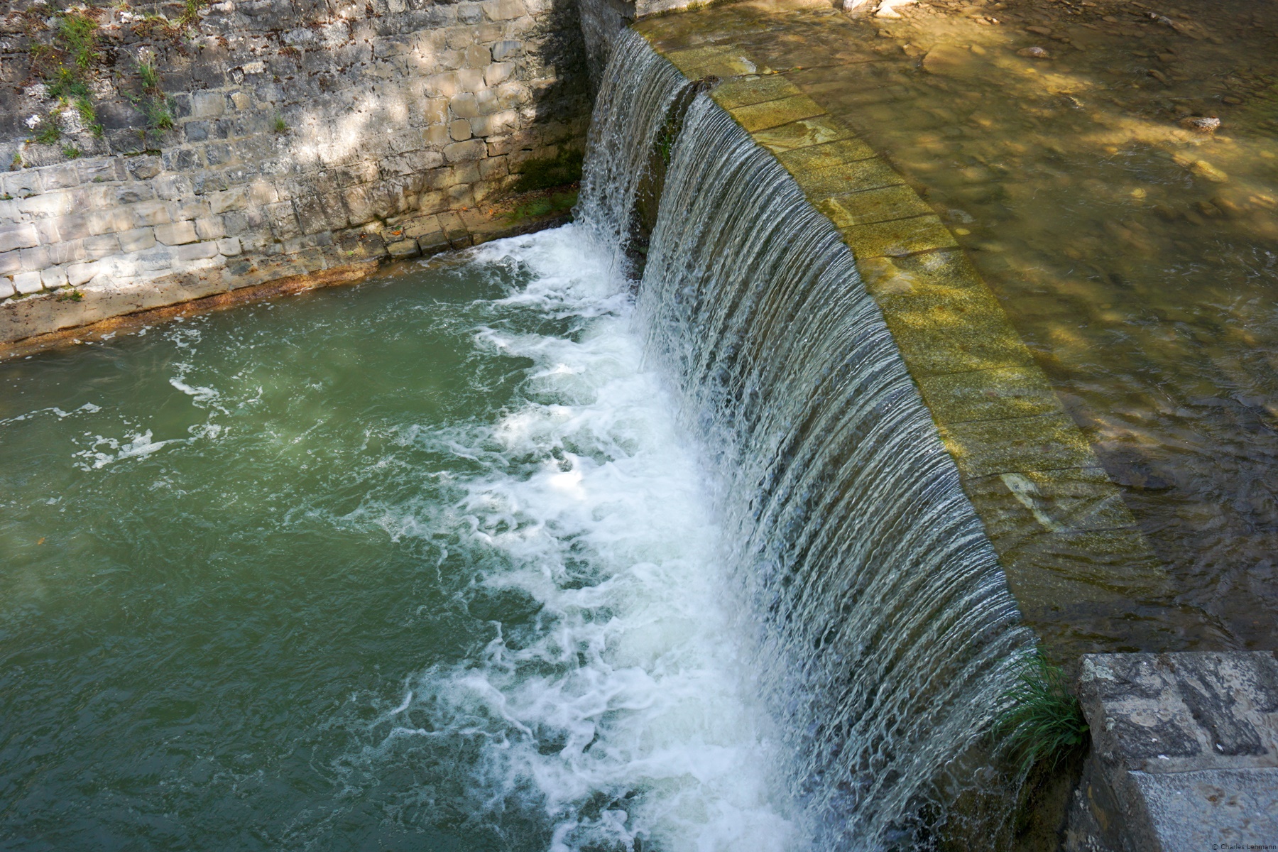