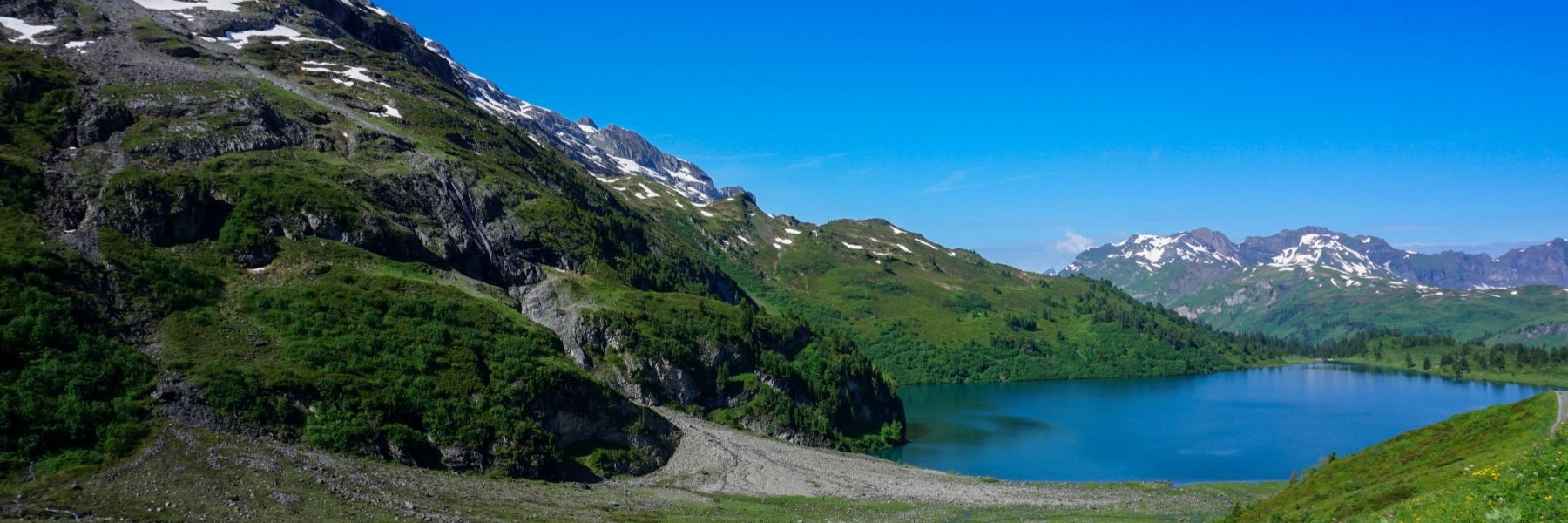
A continuation of the hike of the day before was required. What followed took us from Les Paccots to Broc and not to Gruyères, as initially planned. Indeed, it was Saturday, and it was impossible to find a free room in the small medieval town. Thus, we completed a few more kilometers to get to Broc. This imposed choice was without regret since the establishment found in Broc was just facing Gruyères and offered a magnificent view of the latter.
Departing from Les Paccots, the route follows the Rathvi road for a good kilometer. As it was morning, this was of no consequence. But I can imagine that at the end of the day the traffic might be heavier there.
Just before the road starts descending towards Ruisseau de Rathvel, the route leaves this one to climb through the forest and reach the chalet des Pueys. Then one continues to climb passing by La Pudze and Incrota before reaching a small pass near Le Villard.
The crossing under the top of Moléson forces one to descend a little before going up to the Gros-Plané chalet. Another short crossing and one reaches the intermediate station of the Moléson lifts: Plan Francey. Here, the contrast is quite striking. One was relatively alone until then, but suddenly one finds oneself in a busy place. Fortunately, the rest of the path follows the ridge towards In Maulatrê.
What is pleasant about this descent is that the view of Gruyères is not omnipresent and one can appreciate with each gap in the forest, a different angle of view. It is only in Provêta that the old town completely.
As mentioned in my previous post, we decided to do this section of the Alpine Panorama Trail in the opposite direction to the one suggested. And here, we realized that for this stage, it is better to go down to Gruyères in the afternoon rather than having to go up in the morning in the full sun towards Plan Francey.
Arrived at Pringy, we took advantage of the store to be able to restock our drinks: it was very hot.
A small climb then brought us to the city of the Counts of Gruyères. This city is beautiful and worth a visit, even if it is usually too crowded.
We did not go up to the castle but followed the marked path that goes down to the Bérauta. On the descent, one might be worried about the traffic on the Intyamon road which leads to the Pays d´En-Haut. But a passage using the anti-tank construction allows one to pass under the road without inconvenience.
Further down, one reaches the Sarine, which one crosses on the Pont qui Branle. Even though it was my first time crossing it, I expected an old wooden bridge and was not disappointed. This bridge is magnificent with its roof covered with wood shingles.
Another small climb and one reaches the Chapelle des Marches, a place of pilgrimage for the sick, since two miraculous healings are attributed to this chapel.
After a little extra effort, one then reaches Broc, a small town known for its chocolate factory. This town is however crossed by the road leading to the Col du Jaun. It is therefore very busy during the weekend.
Itinerary: Les Paccots – Les Pueys – Gros Plané – Plan Francey – In Maulatrê – Gruyères – Broc
Distance: 21Km
Altitude gain: 640m
Duration: 7h

Aux Paccots, mes parents étaient l’un postier et l’autre cuisinière au refuge de la Dent de Lys sous la gouvernance de mon oncle Léon. Toutes notre famille était engagée au refuge. Assurer la liaison postale de la gare de chemin de fer de Châtel St-Denis, approvisionnement ravitaillement. Ma mère a débuter le ski avec mon père sur la piste qui descendait par les Rosalies. Les Paccots étaient fréquentés par les Lausannois: taxi Chevrolet 7 places aller retour Les Paccots… et tous les clients pour une fondue! J’ai des photos de cette époque d’après guerre que vous pouvez me demander par mail.