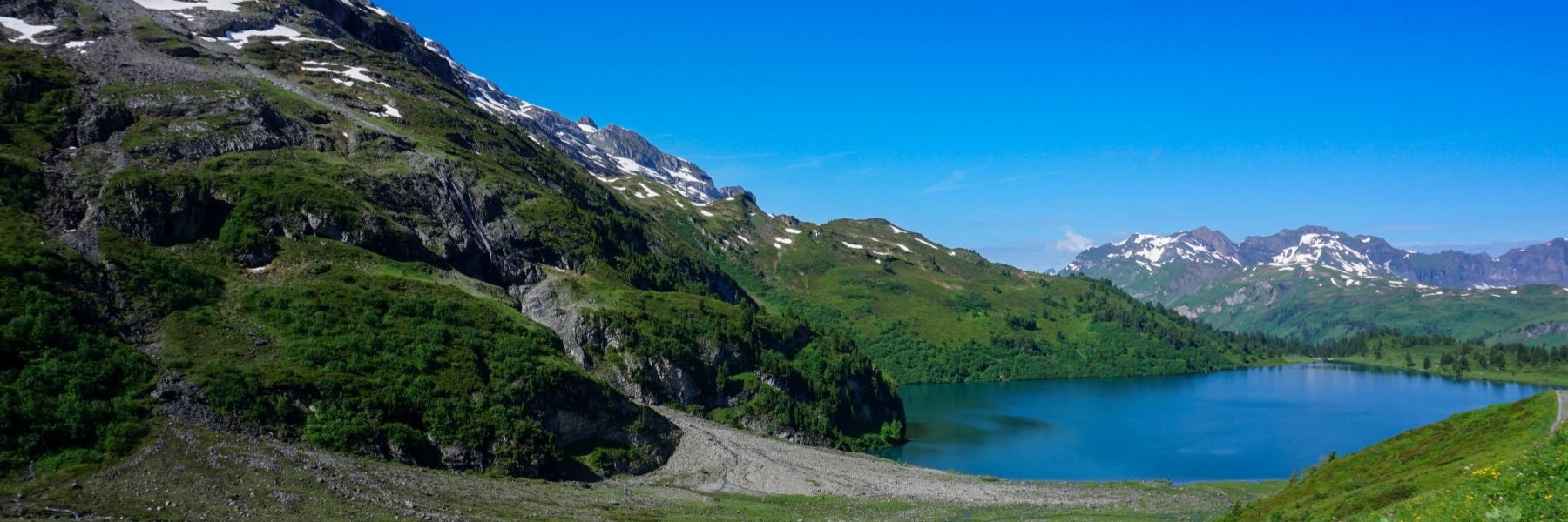
The northwestern slope of Les Dents du Midi in the Val d’Illiez has a small number of mountain lakes. These lakes are located at the foot of the mountain range and their presence is explained by the small glaciers found there. These glaciers, which were previously larger, made the soil watertight. Thus, in the different places at the foot of the Dents du Midi, there are the Lac d’Antème and the Lac de Soi, as well as several smaller and unnamed bodies of water.
The Lac de Soi is an interesting destination, as it allows you to climb the Signal de Soi, a magnificent viewpoint on the mountains surrounding the Val d’Illiez, as well as on the Bas Chablais. Moreover, the substantial altitude gain limits the number of visitors.
The place name of Soi would come from the fact that the homonymous ridge is cut into saw teeth.
The start of the hike is at Plan Soi, where there a small car park along the Route des Rives is located. As the number of places is limited, it is advisable to arrange a carpool in order to fill up as many cars as possible and end up with a minimum of vehicles at this point.
On that day, we set off under a not too clear sky. A few raindrops had even celebrated our departure for the hike. Fortunately, the hike was in the woods from the start, which allowed us to quickly get shelter from the rain. Shortly after the start, it is worth taking a detour of a hundred metres to see the Frassenaye waterfall.
The marked trail climbs steeply through the woods and cuts the Route de Soi several times. In some places, areas devastated by old storms, where few trees remain, offer a view of the upper Val d’Illiez and the ridge bordering the Haute-Savoie.
Below Soi d’en Haut, we walk along the edge of the forest along pastures on which the sheep graze. Since the herds of sheep are guarded by Patou, sometimes we can expect to meet them (not always pleasant). This time, despite the distant barking, we were spared.
Higher up, you soon reach a small pass between Signal de Soi and the Pierre à Midi. Just before this pass, you can follow a small trail that leads directly to the Signal. Returning to Lac de Soi, you can follow the ridge as closely as possible to pass behind the Stone à Midi. Further on, the route leaves the ridge to cross the mountain side and reaches the basin in which the Torrent de Frassenaye flows. Here, you must climb a little further to reach the lake.
On the way back, we went down the same route, without going back to Signal de Soi. A looped route would have meant that the hike would have become too long.
Itinerary: Plan Soi – Soi d’en Haut – Signal de Soi – Pierre à Midi – Lac de Soi. And return without going through the Signal de Soi
Distance: 11.7Km
Altitude gain: 1130m
Duration: 6h
