A few years ago, the Suissemobile Foundation started to promote long-distance hiking routes. At first, I was a little skeptical, but after testing a few routes, I have to recognize that they are generally very well designed and allows one to discover unusual places. This also applies to the cycle routes, which I had also tested.
After having read Daniel de Roulet’s book “La Suisse de travers”, in which he describes part of route no. 2 (Trans Swiss Trail), I had the project to follow a few sections. The “Trans Swiss Trail” starts from Porrentruy, crosses the Jura to reach the quays in Neuchâtel. From there, the route is foreseeing to cross the lake by boat to Portalban to continue the journey. Unfortunately, the schedules of the Navigation Company of the Three Lakes does allow a morning trip to Portalban from Geneva. That is why I opted for the train and the bus. Also, I recommend doing this stretch outside of midsummer as it might get hot in some places at this time.
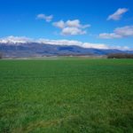
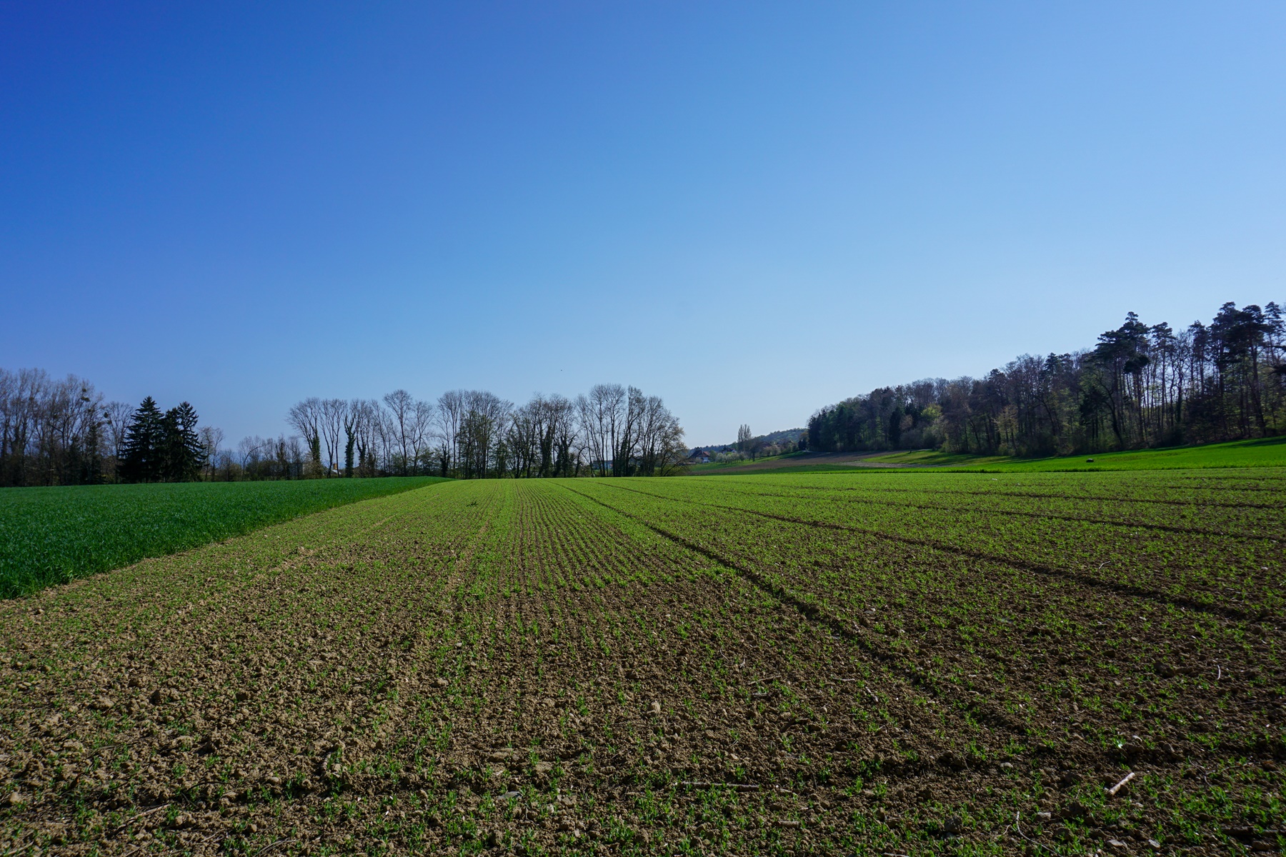
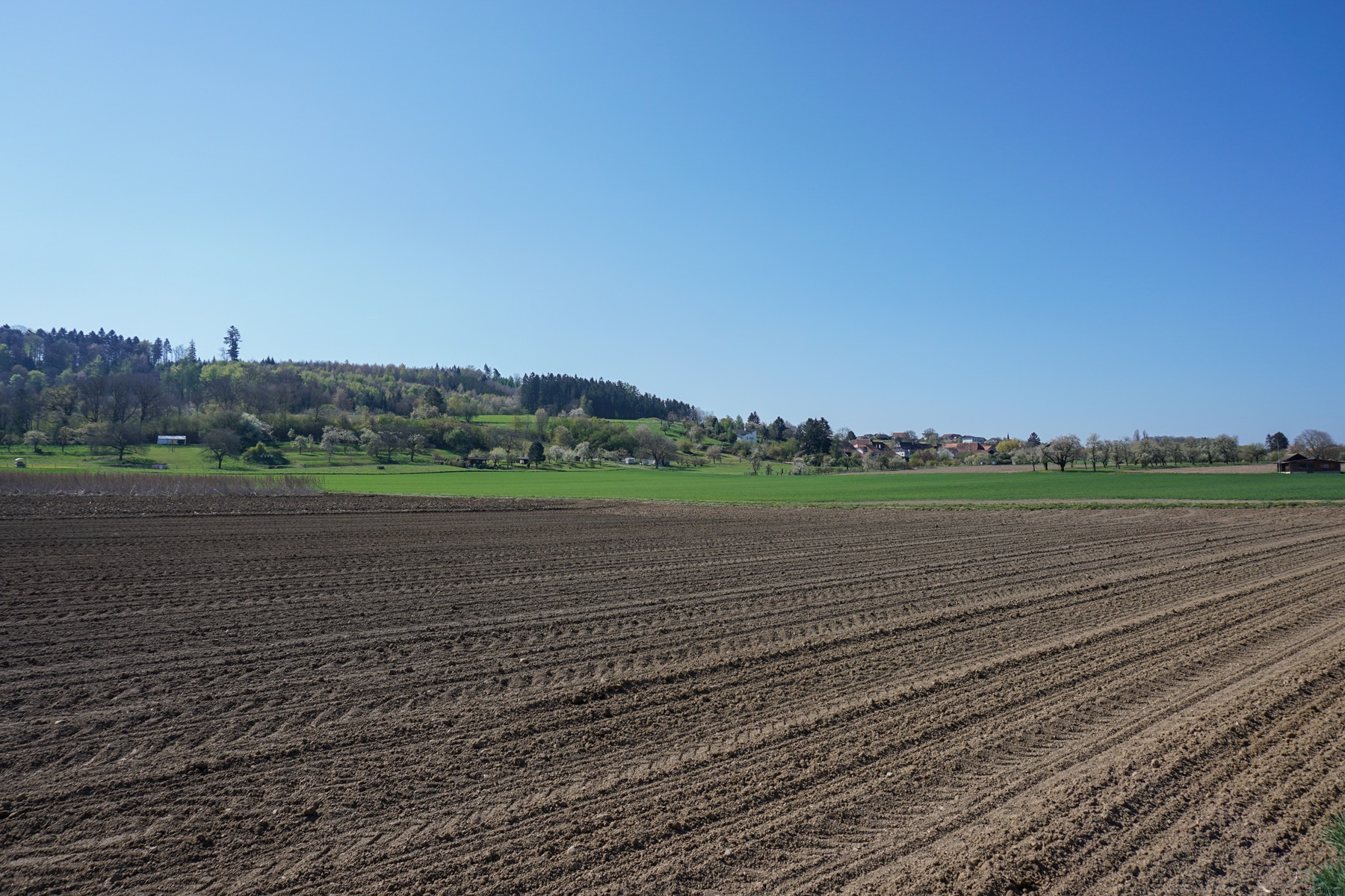
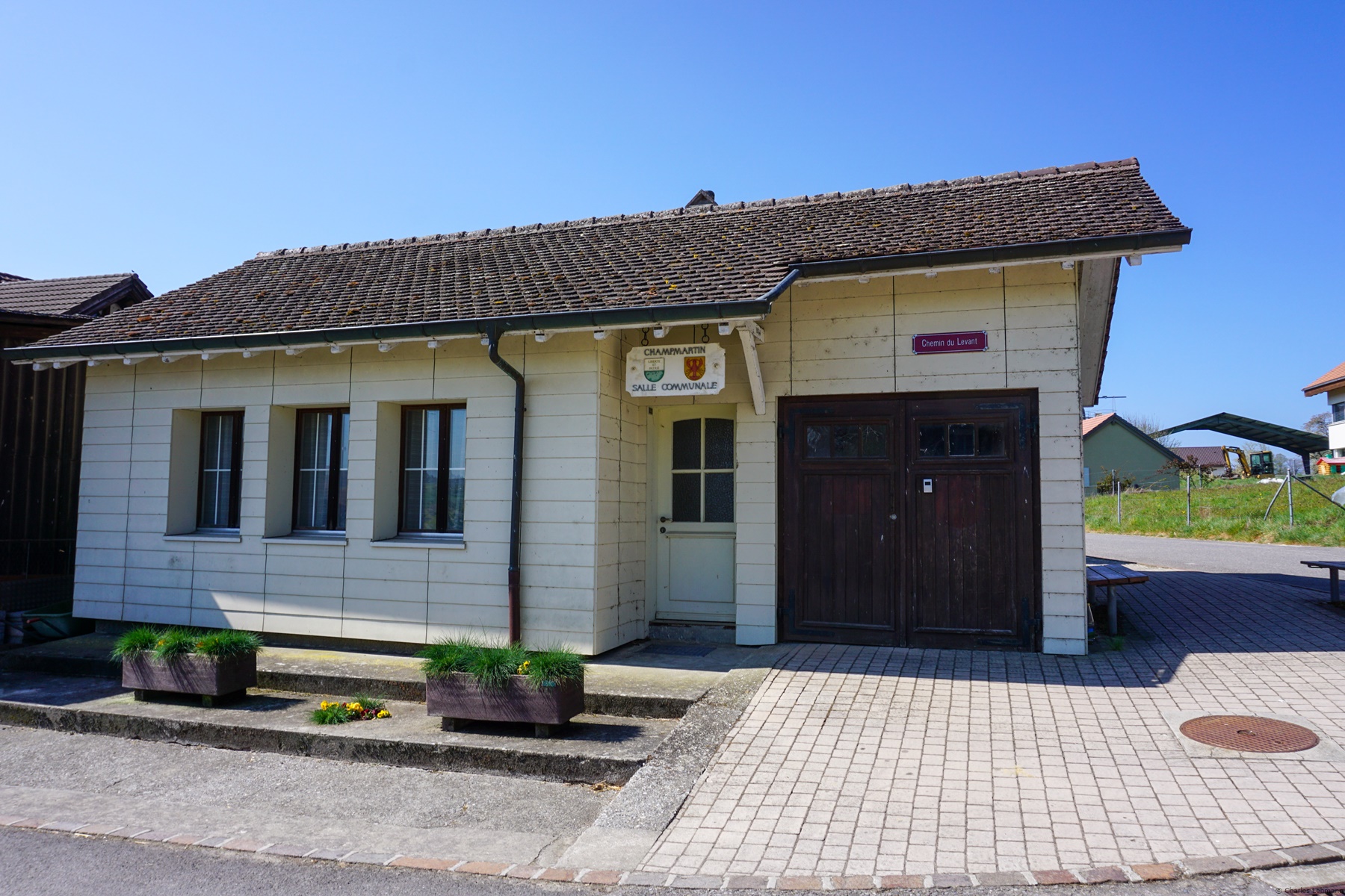
The route, departing from Portalban, starts from the shores of the lake to climb to the villages located a little further on the heights. There is certainly a path along the shores of Lake Neuchâtel, but as there are reed beds there, there is little view. I therefore went to Chabrey and Champmartin before going down to Cudrefin. Even though Portalban is in the territory of the canton of Fribourg, one enters in the territory of the Canton of Vaud near Chabrey, which onr will only leave at the Canal de la Broye.
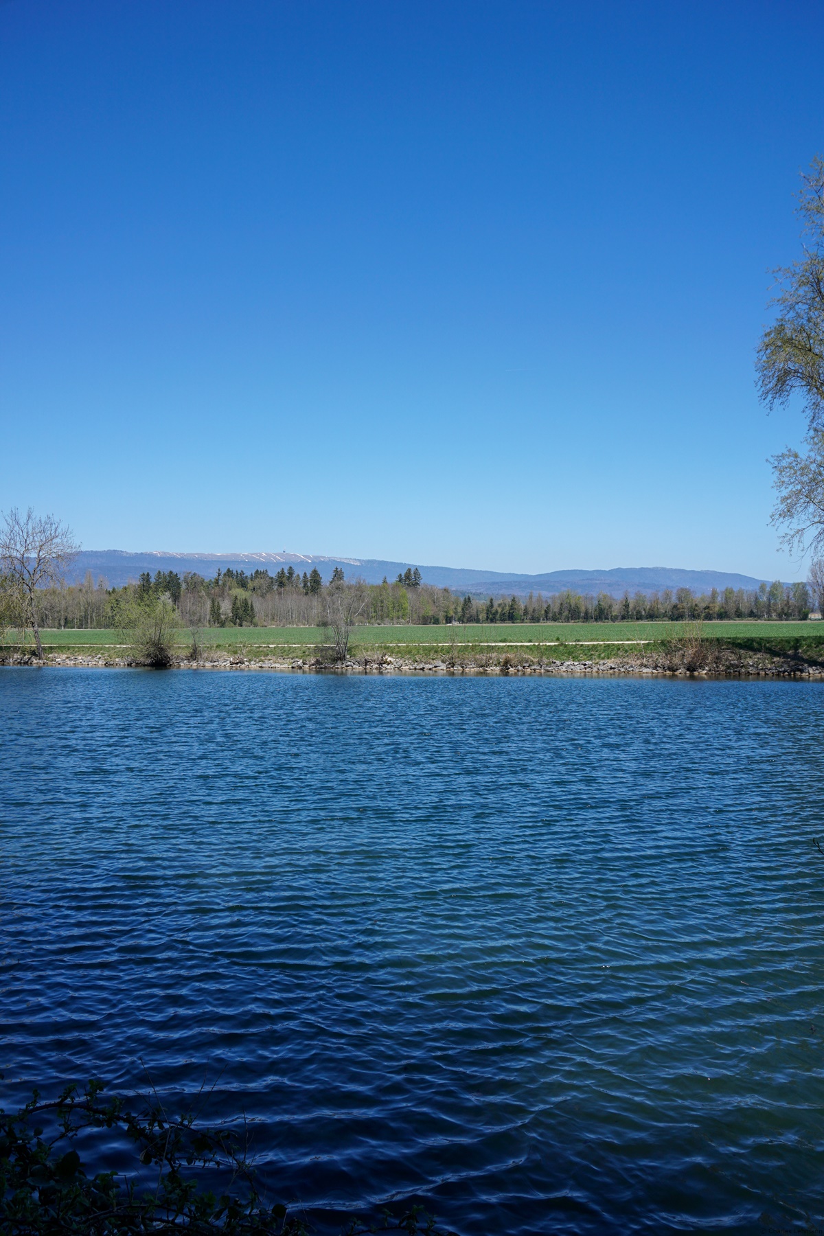
Between Cudrefin and the Canal de la Broye, one followd a monotonous section of path crossing a part of the reserve forming part of that of the Grande Cariçaie. The views of the lake are scarce there and it is only near the Canal that one once again has a clear view of the Jura.
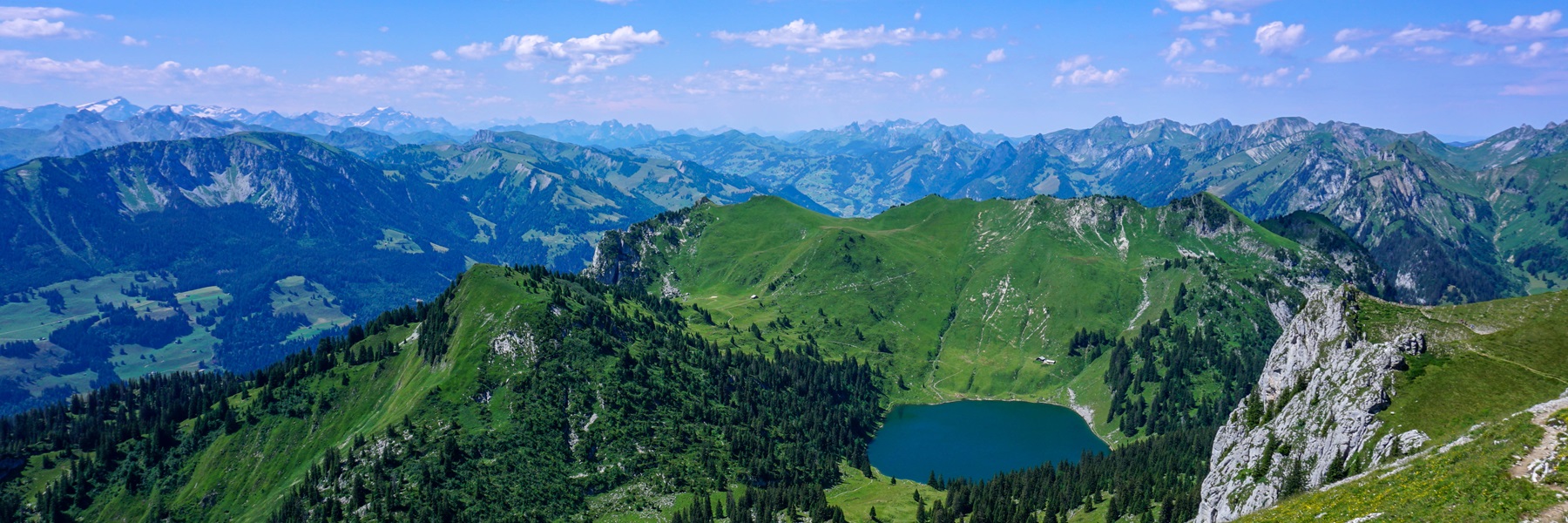
Once one has reached the canal, one follows it for a bit (to the place called Tonkin … is it because the ground was marshy? Anyway, I guess that there are rice fields) and it was not long before one starts climbing Mont Vully. Mont Vully is surprisingly in that, seen from the bottom, one could not imagine that it is in fact a wide plateau surrounded by rather steep embankments.
The summit of Mont Vully includes some relics of Gallo-Roman constructions, as well as others dating from the First World War. According to the tale “The Sorcerer’s Son”, it was at the top of Mont Vully that the “chette” (witches’ sabbath) took place.

 Previous Post
 Next Post