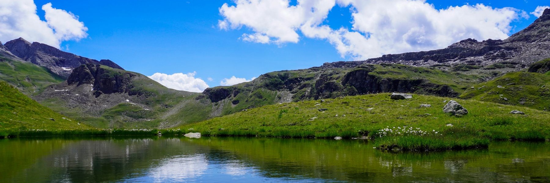
J’étais allé souvent faire une randonnée dans ce secteur du Jura Vaudois, que ce soit sans neige, ou en hiver en raquettes. Mais j’étais jusque là toujours parti soit depuis Bassins, soit depuis Saint-George. En consultant la carte, je m’étais rendu compte que de partir des hauts de Marchissy pouvait être une option intéressante. De plus, le point de départ est assez pratique puisque quelques places de parking existent juste à côté du centre forestier de Marchissy.
J’avais donc eu le projet de monter au Crêt de la Neuve en partant de Marchissy. Malheureusement, comme il était tombé passablement de neige au-dessus de 1000m les jours précédents, je n’avais pas anticipé que j’aurais besoin de plus de temps pour faire cette randonnée, puisque j’avais dû faire la trace. Et comme je n’avais pas prévu de pique-nique consistant, j’ai dû écourter la randonnée.
Au départ du parking de Marchissy, on commence par suivre une bonne route forestière menant à un carrefour. On pourrait suivre cette route pour rejoindre le chalet de la Pouilleuse, mais il est plus avantageux de prendre un chemin forestier amenant juste en-dessous de ce chalet. Au-delà du chalet, on atteint la route menant de Vaud aux Chenevières et à la Perroude de Vaud. On n’est alors pas obligé de suivre cette route, car quelques chemins forestiers permettent de couper les lacets de celle-ci. Le premier chemin forestier est représenté sur la carte (celui qui longe un petit pâturage). Plus haut, après l’épingle à cheveux cotée 1115m, un autre chemin, non mentionné sur la carte, monte à droite dans la forêt. Il effectue deux virages et débouche au chalet des Chenevières, juste en-dessous du chemin menant au Pré des Fornets.
Au-dessus du chalet des Chenevières, j’ai suivi le bon chemin partant à droite à la hauteur de la fontaine et qui mène à Sur les Fornets. Arrivé sur la route goudronnée et dans les pâturages, j’ai traversé ceux-ci en direction des Echadex. On passe alors devant un petit refuge avant de traverser le creux menant au chalet des Echadex. C’est à cet endroit qu’au vu de l’heure et du manque de pique-nique, j’ai décidé de retourner au point de départ. Pour cela, j’ai suivi la route goudronnée jusqu’à l’abri (avec point de vue), pour prendre le sentier descendant à travers la forêt. Arrivé sur la route, j’ai suivi les sentiers pour pouvoir passer près des Prés de Joux et de la Grillette. On retombe alors sur la Route des Montagnes non loin du point de départ.
Itinéraire : Marchissy (Administration – Garde forestier) – La Pouilleuse – Les Chenevières – Sur les Fornets – Les Echadex – Refuge – Prés de Joux – La Grillette – Marchissy
Distance : 10Km
Dénivellation : 520m
Durée : 4h

![[:fr]Paysage de montagne[:en]Mountain scenery[:de]Berglandschaft[:]](https://destination-montagne.ch/wp-content/uploads/2023/05/210123_Frasses_031-150x150.jpg) Article précédent
Article précédent![[:fr]Paysage de montagne[:en]Mountain scenery[:de]Berglandschaft[:]](https://destination-montagne.ch/wp-content/uploads/2023/05/210224_Cret_Neuve_001-150x150.jpg) Article suivant
Article suivant