

The Alpine passes almost all have one thing in common: it is not so much the passes themselves that posed crossing problems, despite, in some cases, a significant altitude. It is rather the accesses that have been impassable for a long time, which sometimes required significant detours.
The Col du Rawyl is no exception to this rule. Indeed, it was not until the 14th century that one managed to trace a path in the large wall overlooking Iffigenalp. Before that, there were only two possibilities to cross the mountain between Sion and the Lake Thun region. The first, and the least convenient, is to climb the Col du Rawyl, turn north-east passing under the Laufbodehore and descend the steep ridge of the Firstli. This possibility has the advantage that one stays practically at the altitude of the pass to cross to the Firstli. However, the path on the steep and narrow ridge can be very problematic. The second possibility, which does not present major difficulties, turns away from the straight line to reach another pass: the Schnidejoch. Admittedly, this pass is higher than the Rawyl, but its access is relatively easy. Only the presence of a glacier on the Bernese side made the crossing more difficult in modern times. But the Chilchligletscher having melted markedly since the beginning of the 2000s, there is no longer any need for special equipment to cross the Schnidejoch. The glacier also did not have the maximum extent in remote times (late Neolithic and antiquity). This explains why artifacts from these periods have been found. Note that the oldest object is even 1000 years older than Ötzi.
The destination that I propose here is not to climb completely to the Col du Rawyl, nor to climb to the Schnidejoch, but to reach the Plan des Roses located a few kilometers from the pass and cross the crevassed rocks to reach the Lac de Téné. It is also assumed that this variant was favored in remote times, because the risk of falling rocks above Lourantse was avoided.
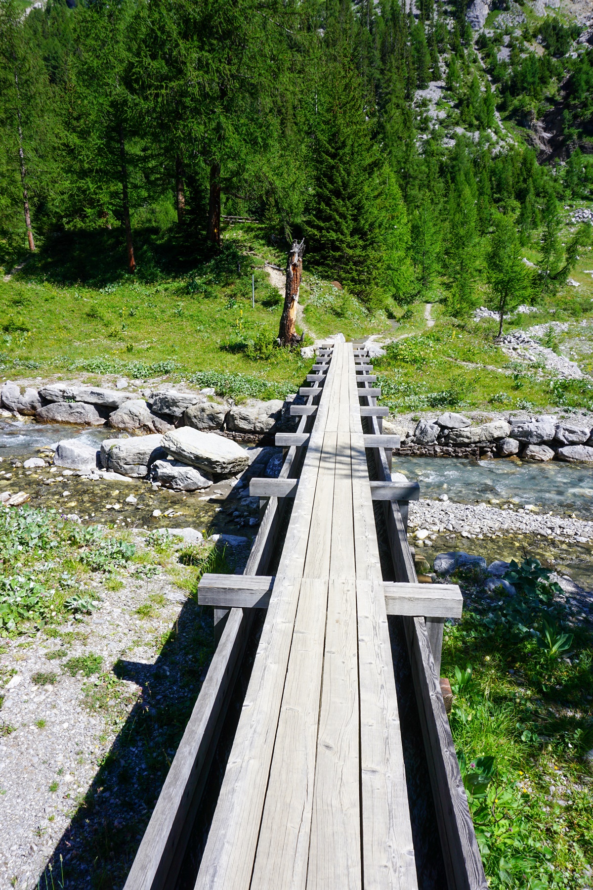
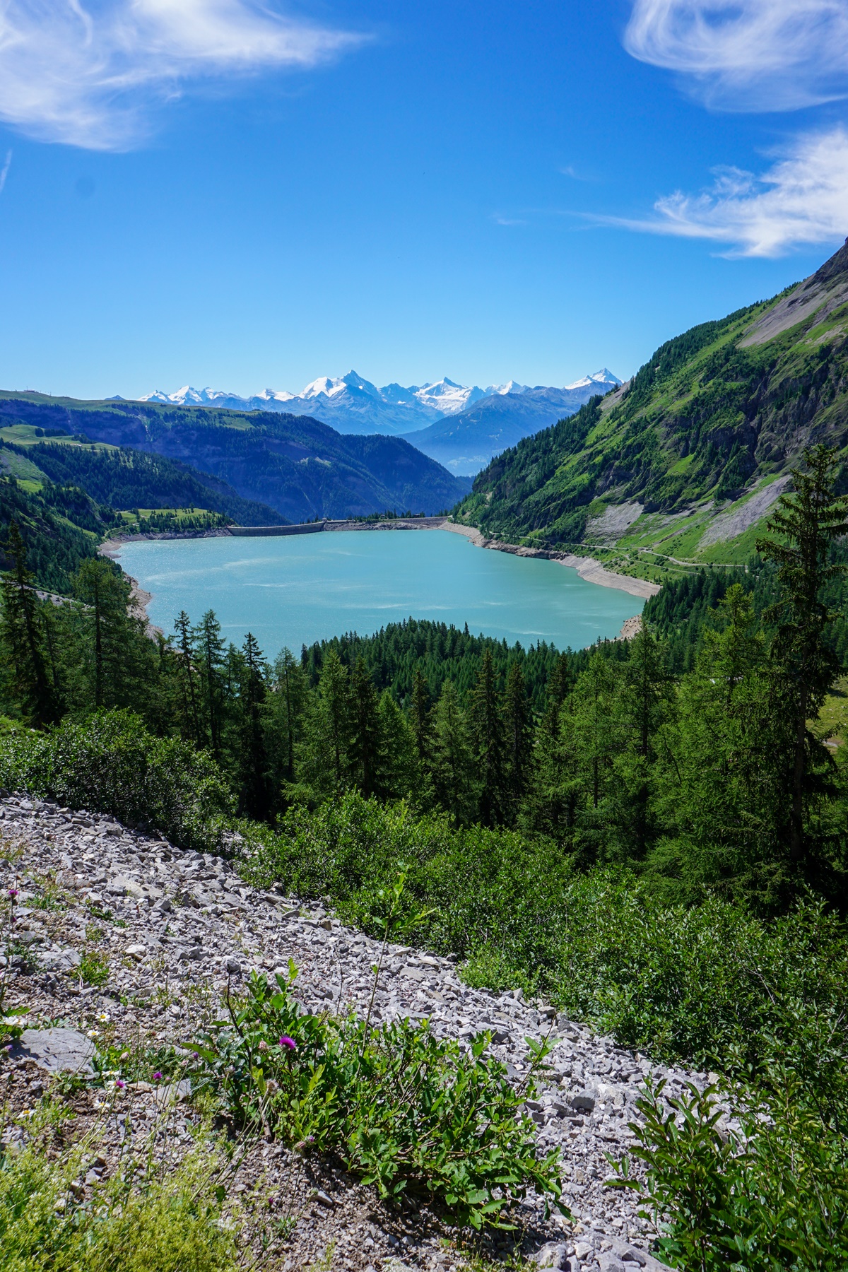
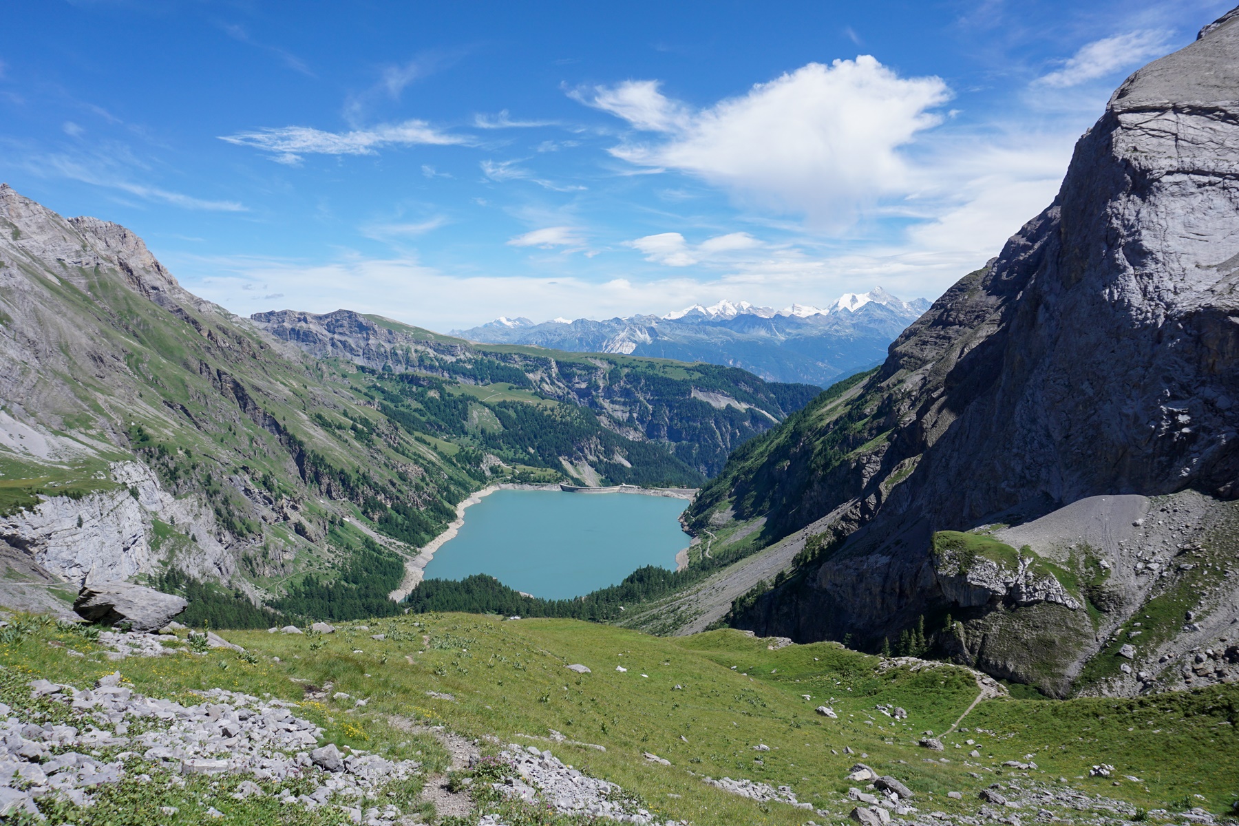
From the Tseuzier dam, it is worth following the path on the left bank. It is less convenient than the road on the right bank, but in doing so, one passes at the foot of the Source de Loquesse where the water wells up from a high wall. From the well, one has to go down a little to reach the Liène which one crosses twice: once on a footbridge and a second on the Bisse de Sion canal. By doing so, one directly reaches the wide path going up to Armillon.
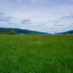
Before Armillon, one crosses a small tunnel which must not be very old because one can easily, just before the tunnel, climb a small basin. This tunnel had to be drilled to facilitate the passage of cattle. From Armillon one then crosses beautiful pastures dotted with a few rocky mounds. It does not take long then to reach the small body of water of the Plan des Roses.
From there, one returns in the direction taken on the outward journey, but higher. It doesn’t take long to reach an area of limestone pavement that one has to cross in ascent. It is only when approaching the valley descending from the Schnidejoch that one leaves the rocky area.
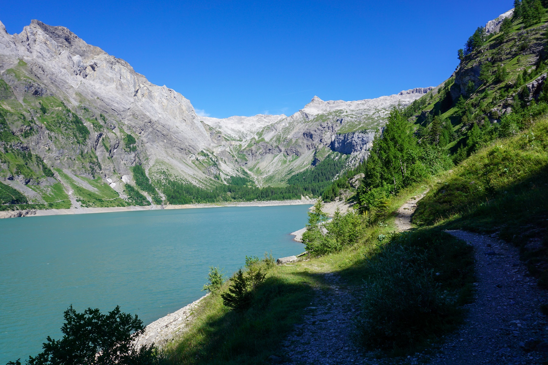
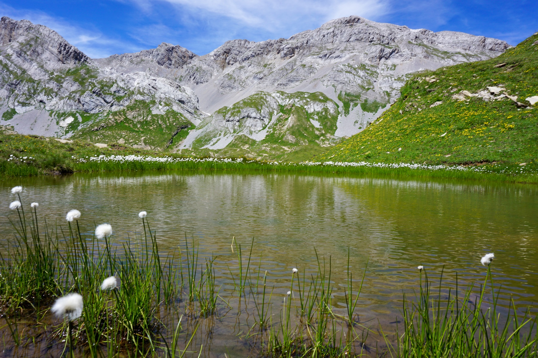
It is then worth going a little further to reach Lake Téné. This small body of water presents magnificent color contrasts between the blue of the water, the white of the micritic limestone and the orange of the Tierwis limestone. However, it should be remembered that the place is often quite busy.
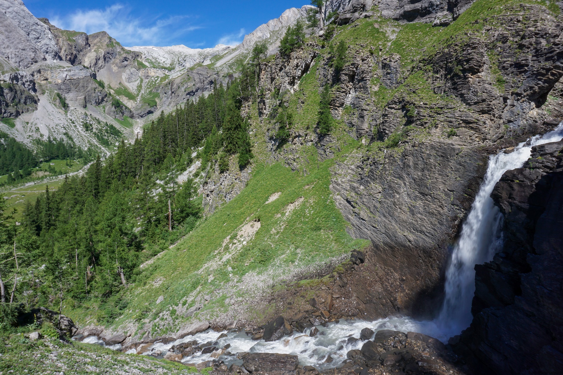
From Lac de Téné, all one must do is descend the valley where a path meanders, sometimes steeply, to reach Lourantse. This trail is good overall, only a small section in the rocks that could become problematic in bad weather.
Itinerary: Tseuzier dam – Source de Loguesse – Lourantse – Plan des Roses – Lac de Téné – Lourantse – Tseuzier dam
Distance: 14Km
Altitude gain: 1000m
Duration: 5h30
 Previous Post
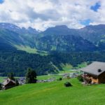 Next Post