The Mont Aubert
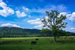
Driving along the shore of Lake Neuchâtel between Grandson and Bevaix, you can see above you, the crest of the.
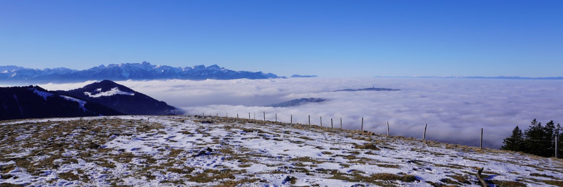

Driving along the shore of Lake Neuchâtel between Grandson and Bevaix, you can see above you, the crest of the.
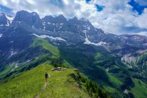
The northwestern slope of Les Dents du Midi in the Val d’Illiez has a small number of mountain lakes. These.
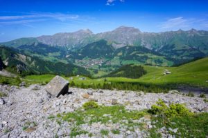
The Bunderchrinde, even though the name is not very eloquent, is a pass connecting Adelboden and Kandersteg. It is located.

This stage (the fourth) of the Via Jura is a big stretch. The Via Jura is the route that crosses.
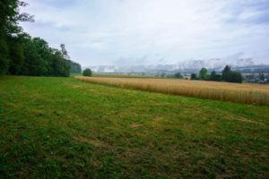
Many times, I had travelled by train along the Birse River to reach Basel. Since then, I had planned to.

This is a destination I like to do again, as the views over the Rhône valley and the mountains of.

The logical continuation of the previous day’s hike was to make the next stage of the Via Berna, between Tramelan.
When I looked at the map of Swissmobile, I discovered that there was a long-distance hike route across Switzerland between.
For me, topographic maps are not only a planning tool, but also a way to escape by imagining how certain.
The Breccaschlund is a magnificent destination in the Fribourg Prealps. Behind the Lac Noir open three marked valleys. The most.
