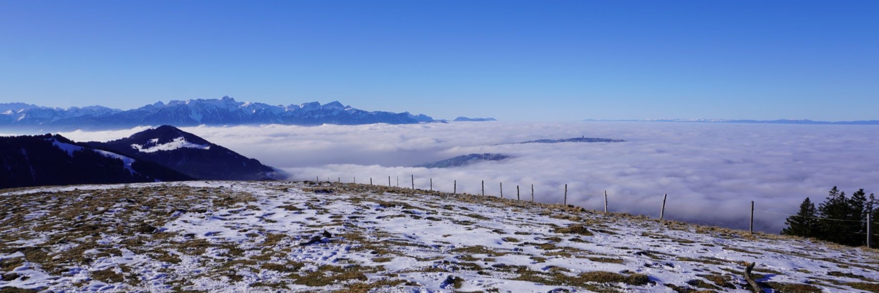
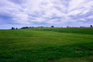
Between Macolin and Neuveville in changing weather
I have a lot of memories of Macolin, having spent a fair amount of time there in my youth during.
I have a lot of memories of Macolin, having spent a fair amount of time there in my youth during.
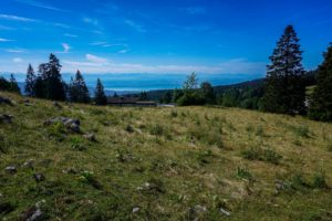
This is a hike with beautiful contrasts and views that are as unusual as magnificent. Indeed, the bottom of the.
On that day, the weather forecast was not too bad. At the same time, for practical reasons, we had favored.
I had made this trek a long time ago. At that time, I often travelled to Basel for professional reasons.
The Combe-Grède is a surprising place. Apart from the fact that it is a Nature Reserve and a Federal Hunting.
As the weather was nice, we thought we would have to go hiking. At the same time, it was late,.
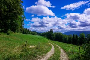
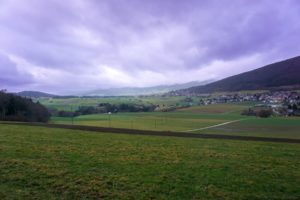
The valley leading to Les Verrières from Fleurier is closed by a chasm separating the latter town from Saint-Sulpice. This.
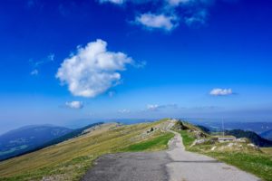
The Col de la Vue des Alpes is aptly named. Indeed, from the large car park of the pass, you.

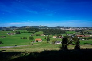
Driving along the shore of Lake Neuchâtel between Grandson and Bevaix, you can see above you, the crest of the.

This stage (the fourth) of the Via Jura is a big stretch. The Via Jura is the route that crosses.
