Between the Col des Roches and the Brévine, the national border follows the ridge for a good length passing by the summit of the Meix Musy. There is also a trail following the border between Le Prévoux and Bas des Roussottes. This trail is probably not new except for the markings. This was probably to be the path taken by border guards to monitor crossings over the green border. When we look on the map, we see that some houses are very close to the border on both sides. It must therefore have been relatively easy to indulge in all kinds of trafficking, not to mention, during the last war, the crossing of the border by refugees.
The path between the Prévoux and the Petit Gardot is unusually marked in grey. At first glance, one might think that official marks (so in yellow, in this case), have been covered with grey paint. It is not so.
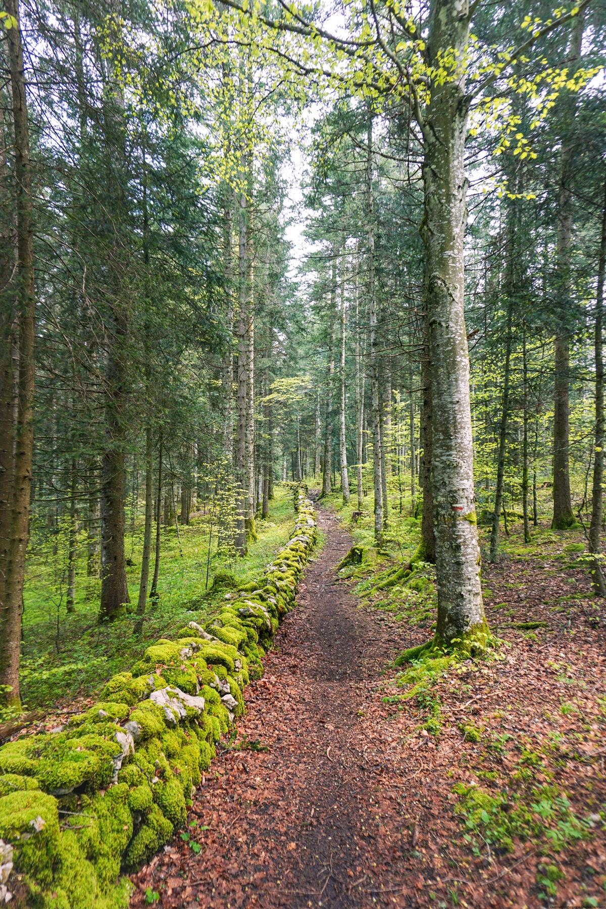
From Prévoux, one must first follow the paved road leading to Haut des Roussottes. It makes a turn to the left and enters a small valley rising between two ridges. Shortly after entering the forest, signs indicate that one must climb the steep section to reach the northernmost ridge. One then arrives at a first boundary stone with, on one side, the three chevrons of the coat of arms of Neuchâtel and on the other side, the fleur-de-lis.
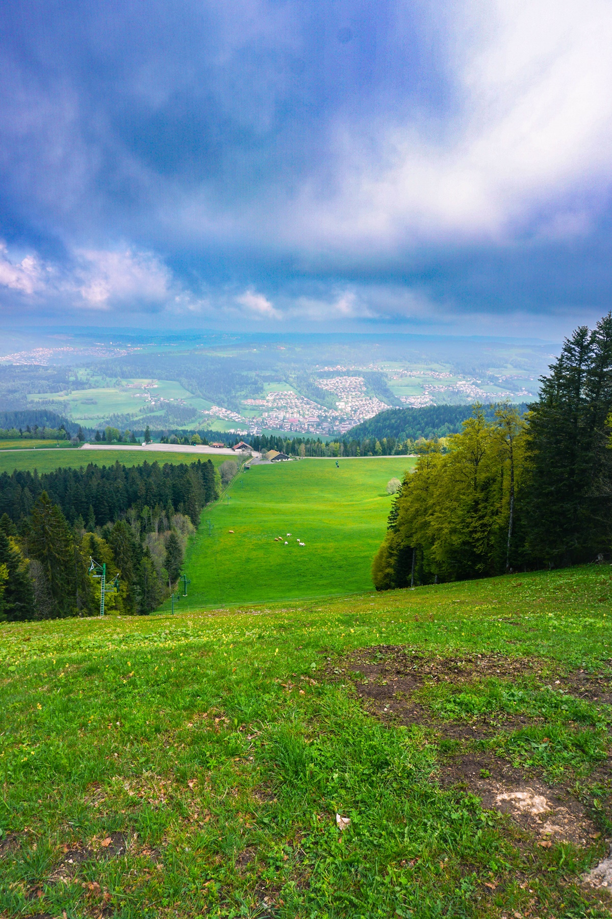
The rest takes place in the undergrowth housing the border, a few meters away, once in France, once in Switzerland. After the Haut des Roussottes, a small climb takes one to the border ridge. The rest takes place along a slightly less rugged ridge until near Meix Musy where a last hill must be climbed to reach the summit. From this place, there is a view, somewhat hidden by the trees, of Villers-le-Lac.
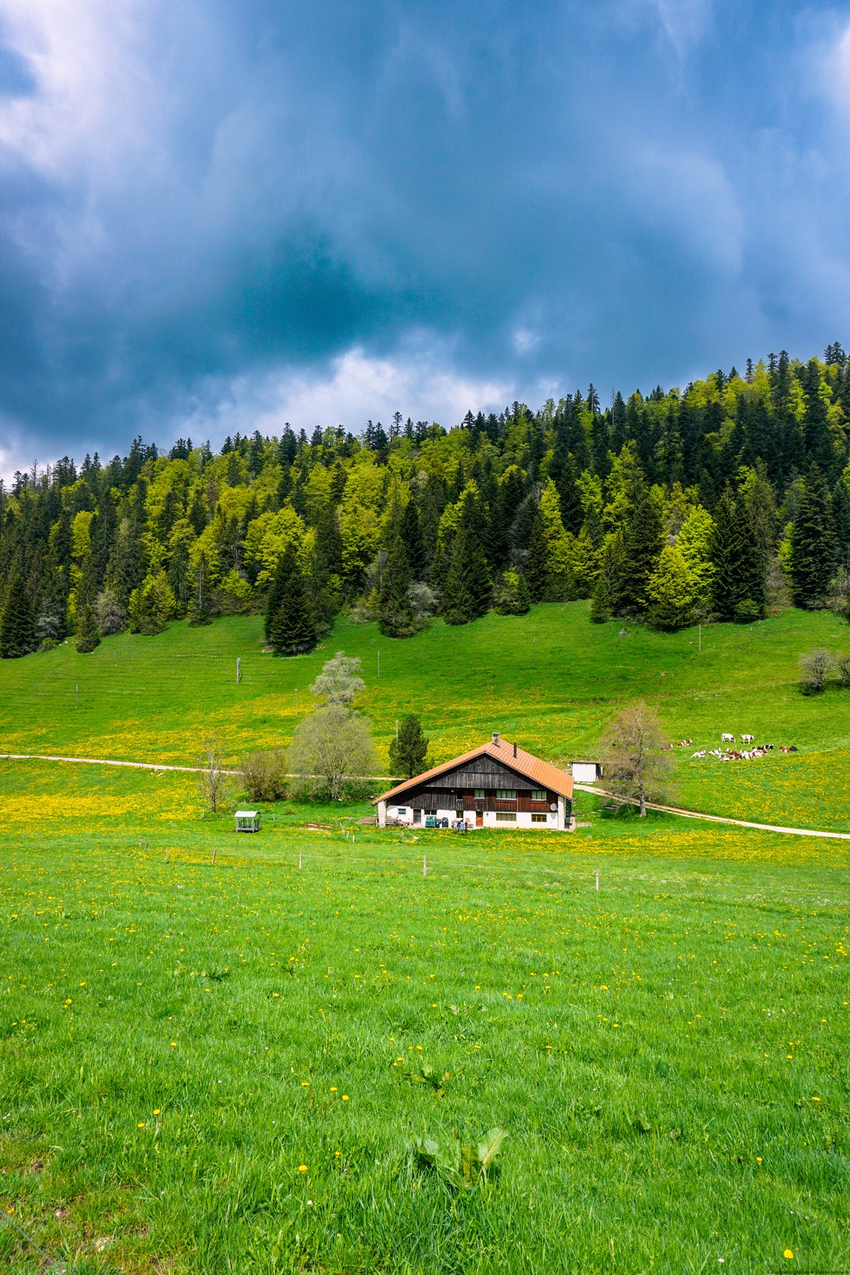
Going down the ridge from the summit one can, at the height of Bas des Roussottes, take a good forest path leading to the paved road and the marked route. One then follows this road to reach the first house of Les Roussottes. At its height, a footpath branches off allowing either to reach Cerneux-Péquignod or Prévoux. In both cases, one must climb a little to pass the ridge.
Going down on the other side, arriving at Bétod, one will notice a building that looks very much like an official building (school or other) and which now houses the Zen temple of Kôsetsu-ji. Some inscriptions in Kanji are there to highlight it.
Further on, before arriving at Prévoux, one crosses a forest in which there are some remarkable sinkholes.
Itinerary: Le Prévoux – Sentier des Bornes – Le Meix Musy – Le Bas des Roussottes – Les Roussottes – Bétod – Le Prévoux
Distance: 9km
Altitude gain: 380m
Duration: 3 hours


 Previous Post
 Next Post